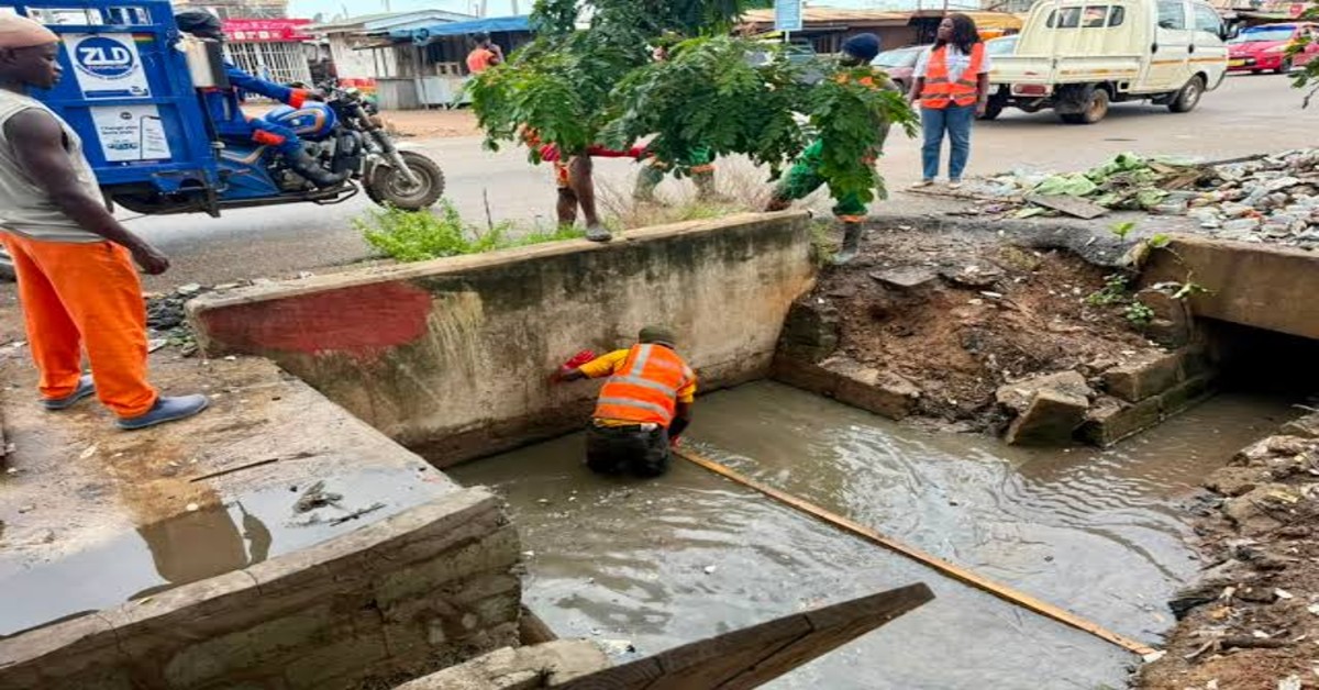
A new assessment by the Greater Accra Resilient and Integrated Development (GARID) project has revealed that encroachment on protected drainage buffer zones continues to increase across the Greater Accra Region, raising fresh concerns about the growing risk of flooding in the capital.
The study found that approximately 16% of the legally protected 25-metre drainage buffer zones in selected assemblies have been lost to unauthorised developments. Officials say the findings highlight the urgent need for stricter enforcement of planning regulations to protect waterways and reduce the impact of heavy rainfall on communities.
The findings were presented on Friday, July 3, by the GARID Project Coordinator and member of the Post-Flood Mitigation Committee, Kojo Ohene Safo, during a presentation on flood risk management in the Greater Accra Region.
According to Mr. Ohene Safo, the assessment examined developments along rivers, streams, and major drainage channels across 16 Metropolitan, Municipal and District Assemblies. The study focused on the mandatory 25-metre buffer zone required under Ghana’s planning regulations, where construction is prohibited to allow water to flow freely during periods of heavy rainfall.
He explained that the analysis compared satellite and field data collected between 2022 and 2026 to determine how development within protected drainage corridors had changed over time.
The assessment revealed a steady increase in the number of structures built within these protected areas, despite regulations prohibiting such developments.
Although Ablekuma Central recorded no new encroachments during the latest assessment period, officials described the area as an exception rather than the general trend observed across the region.
Several other assemblies experienced significant increases in structures located within drainage buffer zones.
In Ayawaso Central, the number of structures increased from 793 in 2022 to 801 in 2026. Ayawaso East recorded one of the largest increases, with structures rising from 337 to 494 during the same period.
Ga Central also experienced substantial growth in unauthorised developments. The assessment found that an additional 54 structures were constructed between 2023 and 2025, bringing the total number of structures within the analysed drainage corridor to 2,329.
Other assemblies also recorded noticeable increases.
Krowor’s figures rose from 178 to 295 structures, while Okai Koi North increased from 596 to 729. Ablekuma West recorded a sharp increase from 904 structures to 1,293 over the four-year assessment period.
Ga North experienced one of the highest levels of encroachment, with the number of structures increasing from 1,049 to 2,261. Ga South also recorded an increase from 746 structures to 871.
The assessment further identified continued encroachment in La Dade-Kotopon, where structures rose from 544 to 638, while Adentan recorded an increase from 171 to 214 structures.
Across all the sampled assemblies, GARID identified a total of 10,497 structures situated within protected drainage buffer zones.
Mr. Ohene Safo warned that these developments continue to obstruct the natural flow of stormwater, making many communities increasingly vulnerable during periods of intense rainfall.
He explained that drainage buffers are designed to provide enough space for rivers and drains to carry excess water safely during storms. When buildings occupy these spaces, water is forced to find alternative routes, often resulting in severe flooding that affects nearby homes, businesses and public infrastructure.
According to him, the increasing level of encroachment has become one of the major contributors to recurring floods in the Greater Accra Region.
“When heavy rainfall occurs, the water no longer has its natural path to flow. That inevitably affects surrounding communities and increases the severity of flooding,” he said.
The findings come at a time when Greater Accra has experienced repeated flooding following heavy rains, leading to loss of lives, destruction of property and widespread disruption to transport and commercial activities.
Urban planners and environmental experts have consistently identified illegal construction along waterways, poor drainage maintenance and rapid urbanisation as key factors behind the city’s persistent flood challenges.
Officials believe the latest GARID assessment provides important evidence that stronger enforcement of land-use planning regulations is urgently needed to prevent further encroachment.
The report is also expected to support ongoing government efforts to improve flood resilience through infrastructure upgrades, drainage expansion and stricter monitoring of developments along waterways.
The GARID project, which is supported by the World Bank, was established to strengthen flood management, improve drainage infrastructure and increase climate resilience across the Greater Accra Region.
Authorities say the latest findings will help guide future planning decisions and flood mitigation strategies, while reinforcing the need for collaboration between local assemblies, planning authorities and communities to protect drainage corridors from further encroachment.
With climate change expected to increase the frequency of intense rainfall events, officials say preserving drainage buffer zones will remain essential to reducing flood risks and protecting lives, property and critical infrastructure across the Greater Accra Region.
Comments are closed.