

 By Emmanuel Bamfo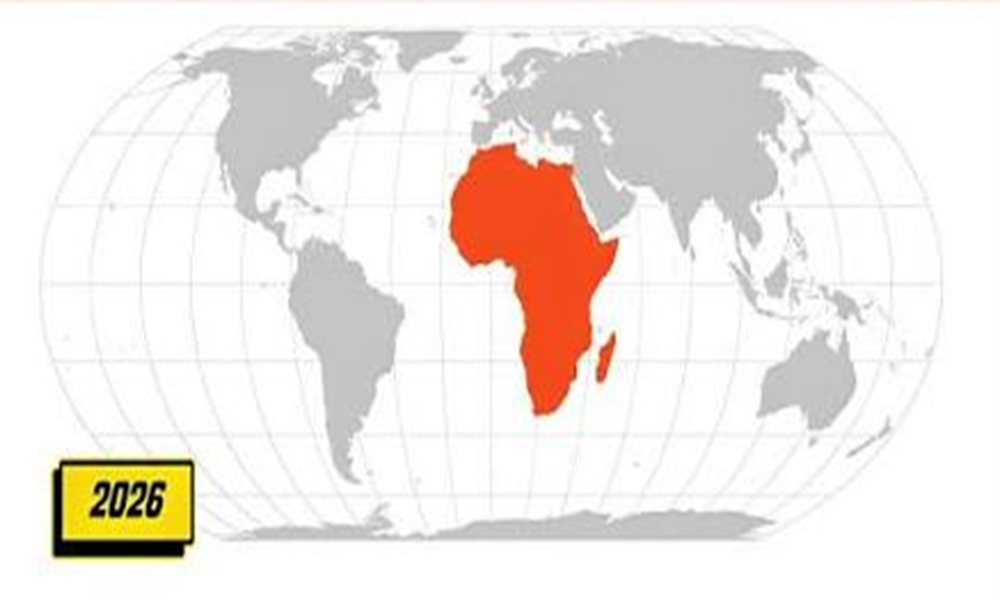
Did you know that standard classroom world maps have been lying to us for nearly five centuries? If you ever looked at a globe and thought Greenland was the same size as the entire African continent, you fell for the oldest cartographic trick in the book.
Fortunately, that misleading visual is finally getting thrown into the dustbin of history. ITUC-Africa commends Togo over UN map resolution after the West African nation led a massive effort at the United Nations General Assembly to adopt equal-area map projections like Equal Earth.
Ever wondered why fixing a simple world map triggers such intense diplomatic debates? IMO, correcting how we view the planet marks the first real step toward true historical and economic justice.
The Colonial Distortion: How Mercator Shrinks Africa
For almost 500 years, the 1569 Mercator projection dominated geography textbooks, GPS apps, and wall maps. While it works great for sea navigation, it massively inflates northern landmasses while severely shrinking equatorial regions.
In reality, Africa spans roughly 30 million square kilometers, making it 14 times larger than Greenland! You could fit the entire continental United States, China, India, Japan, and most of Europe inside Africa with room to spare.
The Real Impact of Distorted Maps
-
Perception Distortion: Shrinking Africa visually reinforced colonial narratives that framed the continent as small, peripheral, and dependent.
-
Policy Biases: Skewed cartography subtlely influenced global investment priorities, trade agreements, and foreign aid decisions.
-
Educational Misdirection: Generations grew up learning a false, scaled-down version of geography.
I remember staring at my middle-school geography poster thinking Africa looked surprisingly small next to North America. Togo’s UN initiative officially corrects that centuries-old illusion.
Togo’s Historic UN Victory: “Correct the Map”
Togo, backed by the African Union, sponsored the historic resolution titled “Correct the Map”. An overwhelming 164 UN member states voted in favor of ditching Mercator distortions in favor of projections that depict countries at their true scale.
  Traditional Mercator Map     ---> [ Togo-led UN Resolution ] --->    Equal Earth Projection
(Distorts & Shrinks Africa)         (164 Member States Vote)         (Shows True 30M km² Scale)
ITUC-Africa’s General Secretary, Akhator Joel Odigie, praised Togo’s leadership for demonstrating true Pan-African spirit. Togo even pledged to swap out all outdated school textbooks by the end of the year to lead by example.
From Cartography to Economy: Fixing the Real Map
While celebrating the win, ITUC-Africa issued a bold challenge to continental leaders. Correcting geographical representation means very little if ordinary citizens continue to face economic exploitation.
What ITUC-Africa Demands Next
-
Resource Ownership: Shifting control of minerals, energy, and land back into the hands of local communities.
-
Local Value Chains: Processing raw materials within Africa instead of exporting cheap raw commodities.
-
Decent Work and Wages: Ensuring that industrial growth directly translates into fair pay and universal social protection for workers.
FYI, trade unions are insisting that fixing the map on paper must trigger real structural economic transformation on the ground.
Maps do far more than guide travelers; they shape how generations understand global power dynamics. Togo’s UN resolution secures an essential win for African representation and historical accuracy.
Also Read: Ethiopias electricity exports rise 25 see the revenue boom